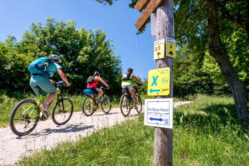
Route 01 · Swabian Alb
Alb‑Crossing
About 370 km and 7,000 m of ascent. Six suggested stages make the numbers legible, but consecutive climbing remains the defining difficulty.
Open route dossierRoute desk / Germany
A route page is a planning brief, not permission or a turn-by-turn navigator. Open the linked official source before travel, respect every closure and sign, and carry an offline alternative.
About 370 km and 7,000 m of ascent. Six suggested stages make the numbers legible, but consecutive climbing remains the defining difficulty.
Open route dossier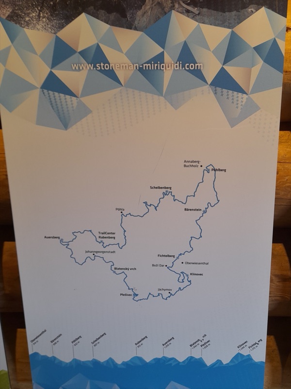
A 162 km cross-border circuit with nine summits and 4,400 m of ascent. Stage it for experience, not a badge.
Open route dossier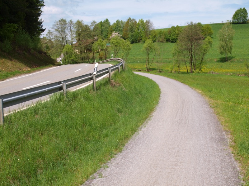
North and south routes form roughly 700 km of journey riding. Each corridor is presented as seven stages with demanding ascent.
Open route dossier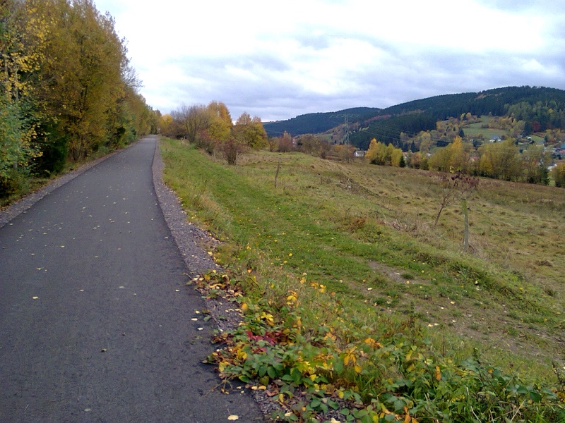
A 195 km signed ridge journey between Hörschel and Blankenstein, with sharper off-road margins at both ends.
Open route dossierWhat these dossiers do
A published distance describes a route concept. It does not report today’s fallen tree, forestry diversion, storm damage, heat, winter closure or local land-management instruction.
Before exporting a GPX
Our method turns a long route into daily questions that can be checked again on departure morning.