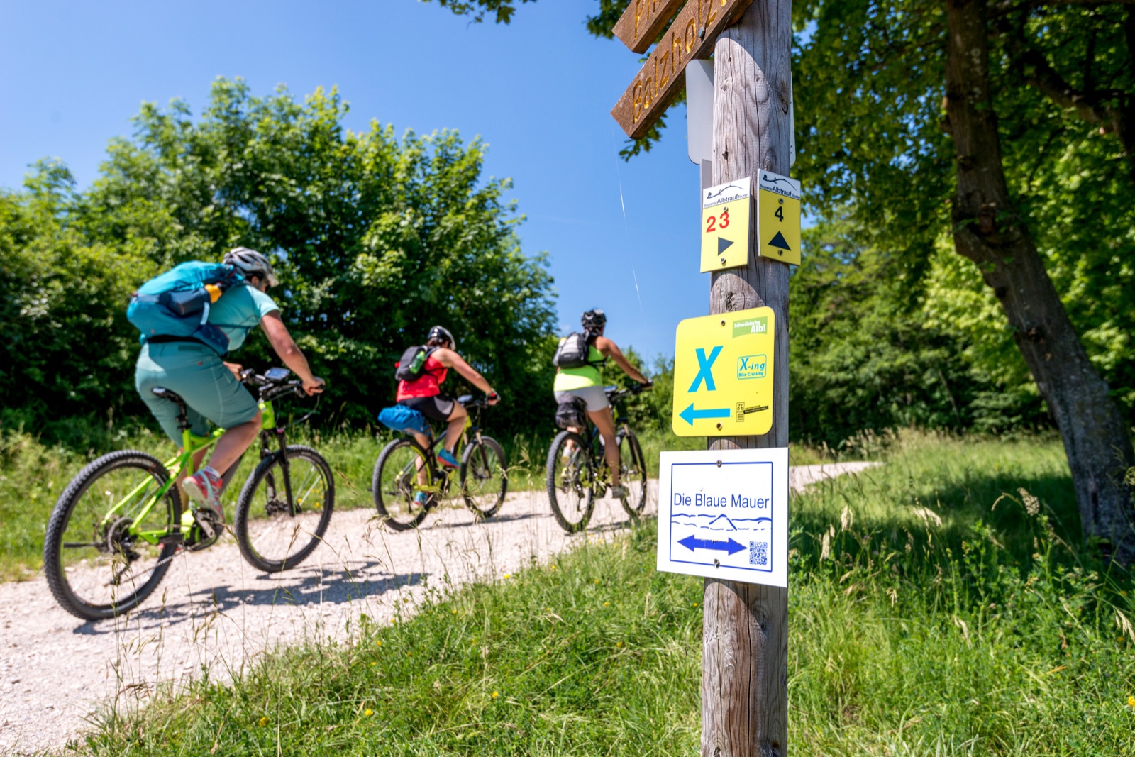
The Alb-Crossing is best understood as a long sequence of manageable decisions. Its official presentation emphasises a route of about 370 kilometres and 7,000 metres of climbing, with six suggested stages or a custom itinerary. It also characterises the riding as technically straightforward but physically demanding. That combination can be deceptive: no single obstacle needs to be extreme for the sixth day of repeated ascent to feel serious.
Use six stages as a reference, not a command
The suggested structure makes daily workload visible, but it is not automatically right for every rider. Compare each official stage with the group’s recent experience on similar surface and elevation. A rider comfortable with 60 kilometres on level cycleway may still find a shorter upland stage difficult. Consecutive days also remove the full recovery available after a weekend ride.
Build daily plans around ascent, likely surface, food and a realistic finish time—not distance alone. Mark places where the route approaches transport or a lower road, and identify a shorter ending before it is needed. Accommodation should be confirmed independently; this journal does not provide bookings or imply that services remain available.
Choose efficiency with enough control
A cross-country mountain bike is the obvious category match: broad gearing for repeated climbing, tyres suited to unsealed ground and handling that remains efficient across distance. A capable hardtail may be entirely appropriate for a rider comfortable on the stated terrain. Short-travel rear suspension can reduce accumulated impacts and maintain traction, but adds service and setup.
A gravel bike should not be selected from the kilometre number alone. Current official surface information and the rider’s skill must support that choice. Narrower tyres and drop-bar braking positions provide less margin on loose or rough sections. Whatever the bicycle, use a low climbing gear before optimising speed.
| Layer | Verify | Conservative response |
|---|---|---|
| Official line | Current route and notices | Download again near departure |
| Workload | Ascent, surface and hours | Shorten before fatigue dictates |
| Weather | Heat, rain, wind, visibility | Use lower, simpler alternative |
| Exit | Transport or safe road link | Save it offline in advance |
The plateau still has weather
Exposure changes quickly along open edges and upland sections. A mild valley forecast does not describe wind or temperature on the higher line. Rain can transform otherwise simple tracks, while heat increases water demand on repeated climbs. Check a local mountain forecast, carry a warm layer even on a bright start, and treat thunder as a reason to leave exposed ground early.
Tyre pressure and braking should be set for the wettest plausible surface, not the fastest paved transfer. After rain, avoid widening a soft track by riding around puddles. If a section is closed or visibly damaged, turn back to an authorised alternative rather than creating a bypass.
Navigation needs two layers
Route signs are valuable, but no sign system replaces a current offline map. Forestry work, vegetation, vandalism or a missed junction can interrupt the chain. Carry the official track and a broader map that shows nearby settlements and transport. Keep enough battery for the end of the day; a phone at ten percent is not a robust navigation plan.
Paper can remain useful as an overview, while a dedicated device or offline phone handles detail. The important redundancy is not owning two screens—it is knowing the direction of the escape line if one screen fails.
A suitable ambition
The Alb-Crossing rewards patient pacing more than a dramatic technical toolkit. Its challenge is repeated work across a landscape, not a single stunt. Respect that arithmetic, choose a bicycle with efficient low gearing and real tyre margin, and allow the official information to change the plan. A deliberately short first stage can reveal far more than an ambitious spreadsheet.