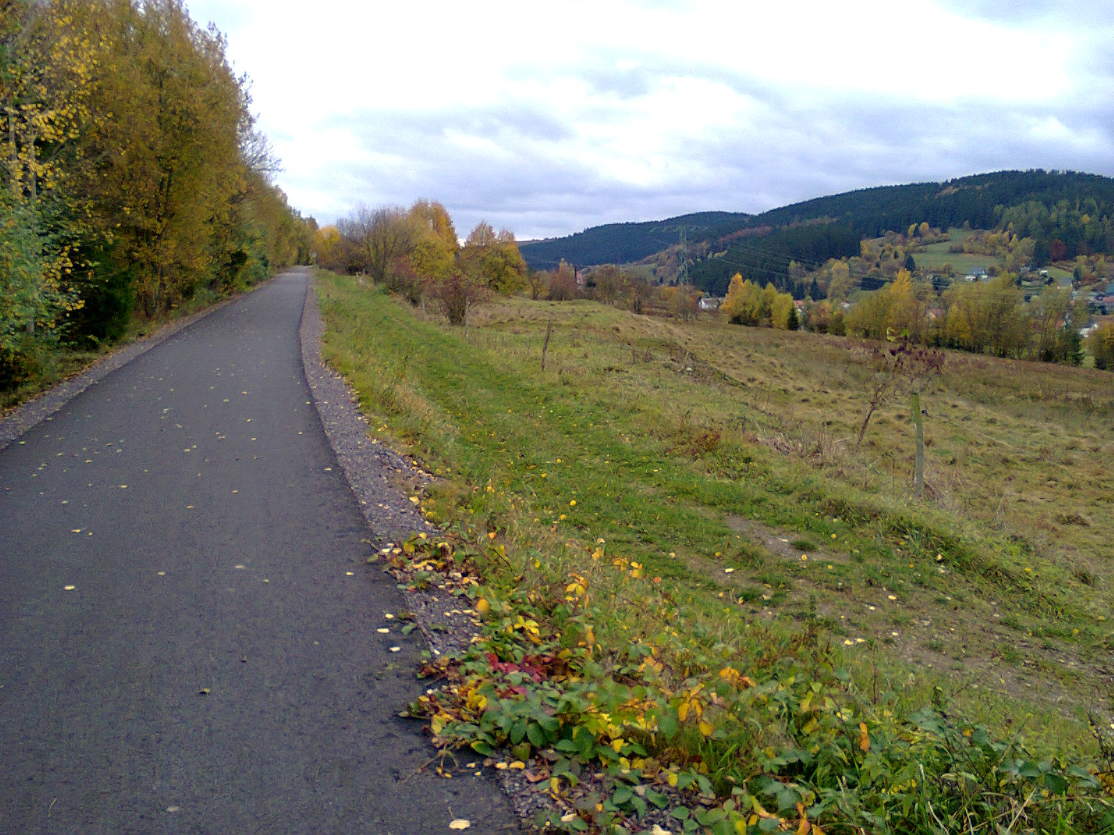
The Rennsteig name is associated with a historic ridge path, but the cycle route is not simply permission to ride the walking trail from end to end. The official Rennsteig Radweg follows the ridge directly in places and moves onto parallel routes elsewhere. It is listed at 195 kilometres between Hörschel and Blankenstein and marked with a green “R” and a black cyclist. That distinct waymark matters: follow the cycling route, not a familiar name on a hiking sign.
Read the ends before the middle
Official information highlights greater elevation differences and off-road riding in the opening area near Eisenach and the final approach toward Blankenstein. Much of the remaining journey uses forest roads and smaller roads, but this should not be translated into uniformly easy surface. Weather, forestry and maintenance can change the effort of an otherwise non-technical section.
Study the official map in the direction you intend to travel. A stage that looks balanced by distance may finish with the day’s sharpest ground. Place time margin around the rougher ends, and avoid forcing a rail connection or accommodation deadline after the most demanding section.
Mountain bike, robust hybrid or tourer?
A mountain bike provides the clearest margin for rough surface and steeper off-road gradients. A rigid hybrid or touring bicycle with generous tyres may suit an experienced rider who has confirmed current conditions and is willing to use alternatives. A narrow-tyred road setup is not supported by the mixed-surface character.
Tyre volume, tread and casing should match the least forgiving segment, not the smooth central kilometres. Low gears protect knees on a loaded bicycle. Brakes must handle total mass through sustained descent, especially if luggage is concentrated at the rear.
| Information | What it tells you | What it cannot promise |
|---|---|---|
| 195 km total | Overall journey scale | Daily time or difficulty |
| Green R waymark | Intended cycle line | No missing or temporary sign |
| Official online map | Current planning anchor | Future weather or trail condition |
Direction affects the logistics
The route can be read in either direction, but transport, wind, accommodation and where the rougher section falls in the schedule may make one direction more practical. Check current public-transport bicycle rules for both endpoints and any intermediate exits. Do not assume a space on a train or bus, particularly with a loaded or assisted bicycle.
For each day, mark a settlement or transport connection that can shorten the plan. A ridge route can make lateral exits steeper than they appear on a small-scale map, so inspect the contours and surface of the escape as carefully as the main line. Save these alternatives offline.
Ridge weather creates delayed costs
Wind, rain and lower temperature increase energy use and reduce the value of optimistic average speeds. Wet forest roads may remain straightforward yet become slower, while loose descents demand more braking attention. Check a forecast representative of the Thuringian Forest elevations and carry a visible, accessible rain layer.
After storms, tree fall and forestry work can make old tracks misleading. Obey barriers and signed diversions. Do not carry a loaded bicycle around an active work closure simply because the GPX continues. If the authorised alternative adds distance, recalculate daylight before proceeding.
Pack for repair, not expedition theatre
Carry tools and spares you know how to use: tube or repair method, pump, tyre lever, suitable multitool, chain solution and brake-pad awareness. Add lighting, first aid, water and a warm layer. Distribute luggage so steering remains predictable, then perform a full loaded ride before departure.
Follow the cycling route’s own identity
The Rennsteig Radweg offers a long landscape journey with genuine mixed-surface character. Its key planning lesson is precision: distinguish the signed cycleway from the walking tradition, distinguish total distance from daily difficulty, and let current official information—not the fame of the name—decide the line.